Spatial Humanities Workshop
Mar 11, 2021 -
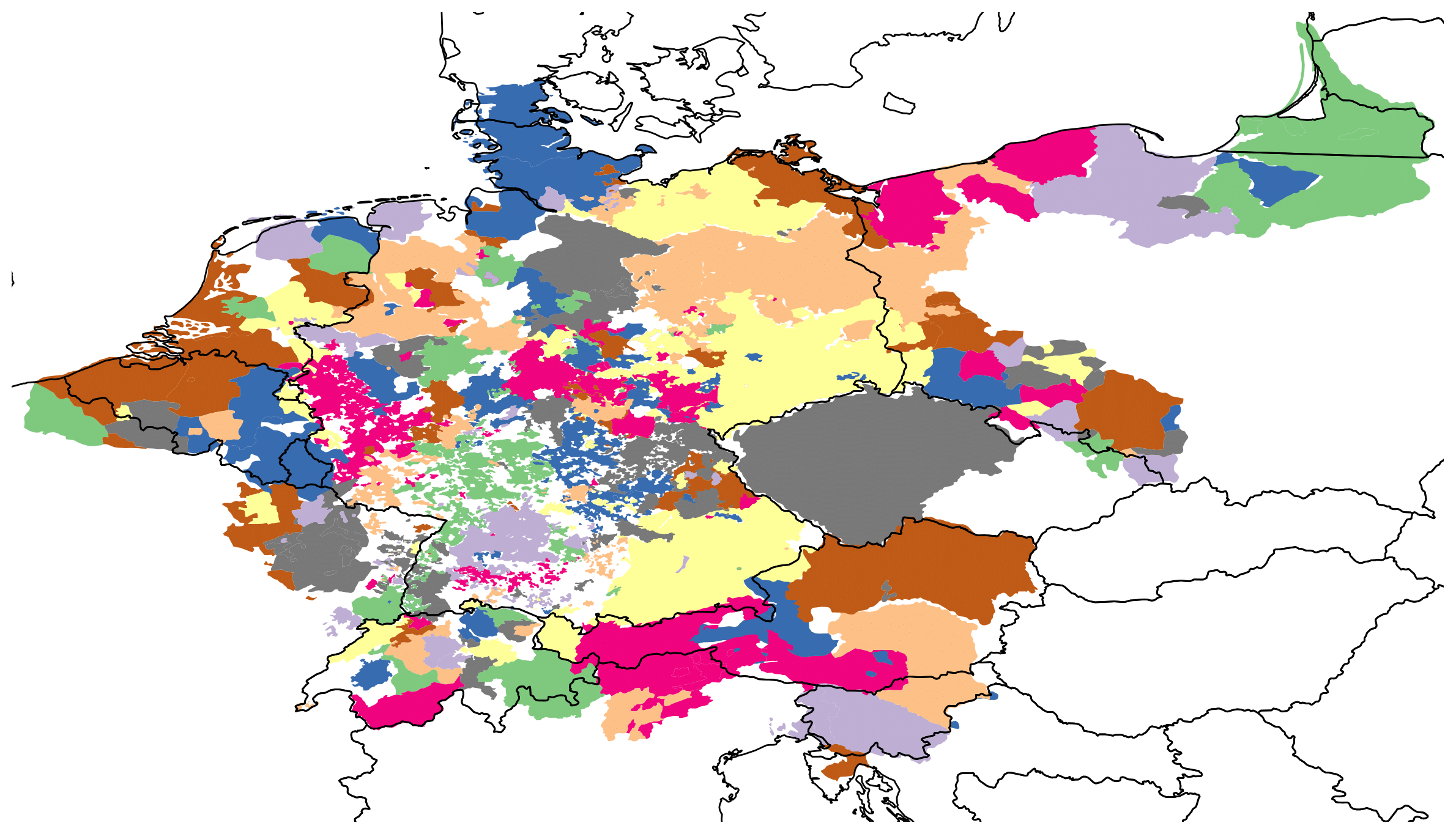
Ramona Roller presents extraction and use of geo-spatial data on territories of the Holy Roman Empire. These data can be used to analyze the European reformation of the 16th century.
The workshop ‘Geography meets Digital Humanities: Neuere Ansätze raumbezogener Modellierung’ addresses the question of how to use ‘space’ in scientific analyses in the Digital Humanities. Definitions of ‘space’ range from interpretative frameworks to geographic notations. Ramona presents a novel data set comprising geo-spatial attributes of territories of the Holy Roman Empire in the 16th century. She shows how she extracted the data from analogue maps and used it to analyse socio-political processes during the Reformation such as confessionalization.